We can't find the internet
Attempting to reconnect
Something went wrong!
Hang in there while we get back on track
About This Trail
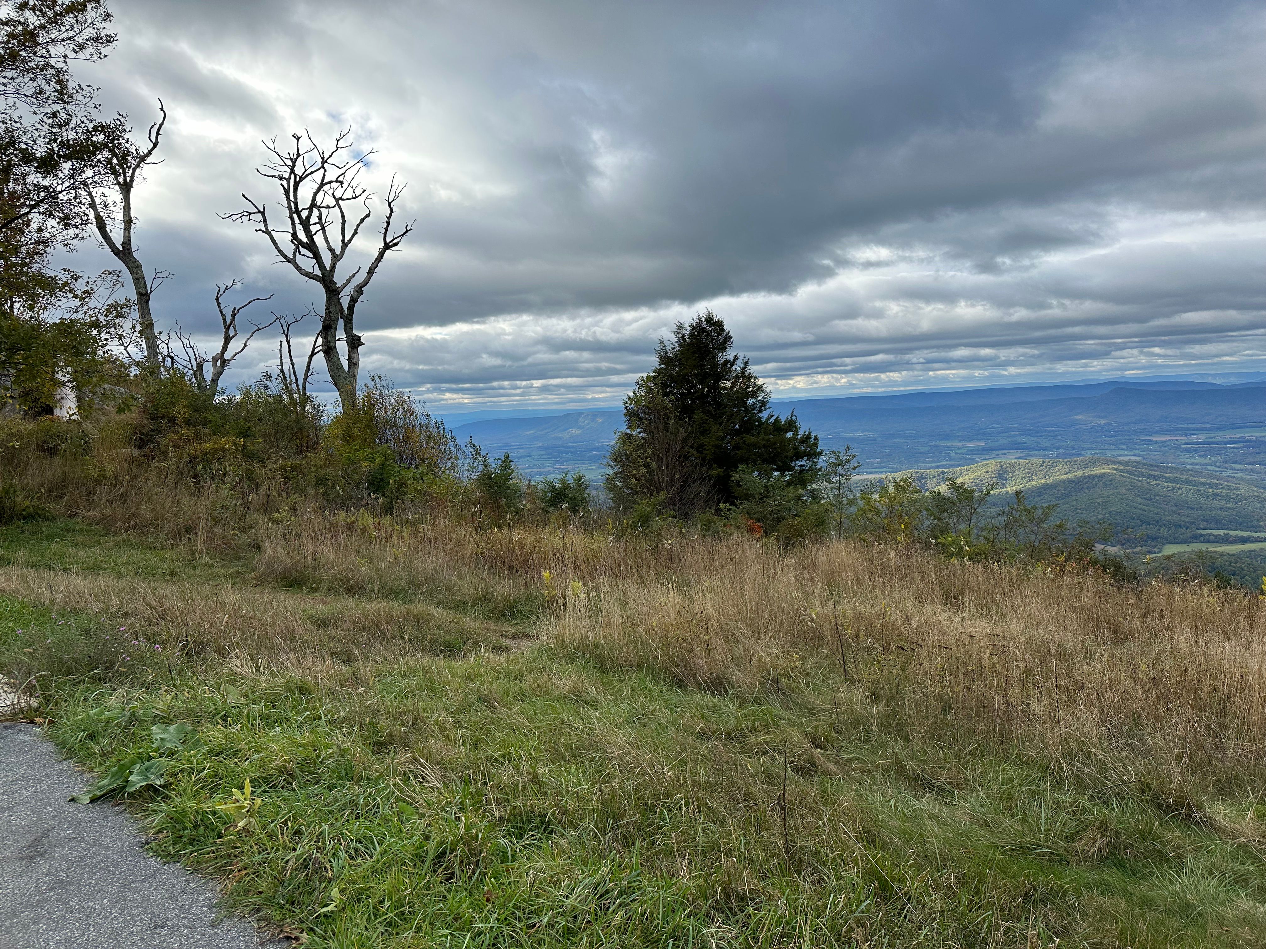
Mary’s Rock offers one of Shenandoah National Park’s finest summit views, a rocky outcrop providing panoramic vistas of the Shenandoah Valley, surrounding ridges, and on clear days, distant mountain ranges. The trail follows the Appalachian Trail from Thornton Gap, climbing steadily through oak and hickory forest before emerging at the exposed summit rocks. The final approach requires a short scramble over boulders to reach the best viewpoints. The relatively moderate climb and outstanding views make this one of the park’s most popular hikes, with crowds on fair-weather weekends. Multiple access points allow for varied approaches of different lengths, and the summit is ideal for watching sunrise illuminate the valley below.
Getting There
Trail Photos

Been to Mary's?
Share your experience and help fellow hikers discover this trail.
Write a Trail Report Report Conditions Upload Photo