Alabama
Macon County
Bartram's Trail
Hiking trail named after William Bartram
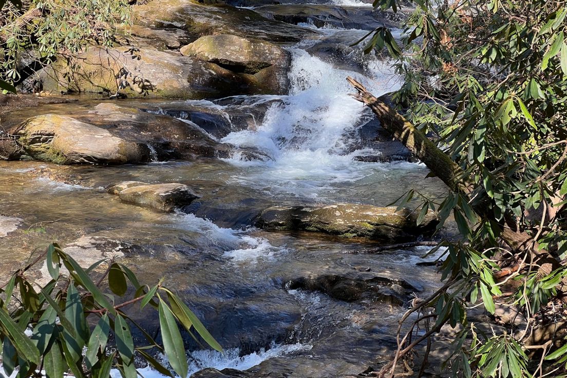
This trail is divided into two parts, one west of state highway 186 and the other on the east. The east side goes gently up and down long leaf pine covered hills. The west side is flat and parallels Choctafaula Creek winding through a hardwood forest of birch, magnolias, oak, and other trees that grow in low lying areas. The trail gets heavy usage from mountain bikers on the weekends.
Length: 8.5 miles
Difficulty: 3
Nearby Trails
Horseshoe Bend Trail
Interpretive trail through the Horseshoe Bend National Military Park
Wildlife Drive
Driving tour of Eufala National Wildlife Refuge
Odum Scout Trail
Trail beginning at the High Falls Trailhead and ending at Odum Point in the Cheaha Wilderness Area part of Talladega National Forest
Nubbin Creek Trail
Trail through Talladega National Forest
Skyway Loop Trail
An overnight trail from Adam's Gap to Lake Chinnabee Recreation Area
