Botanical Garden of Georgia
A hidden Gem near Athens
Description:
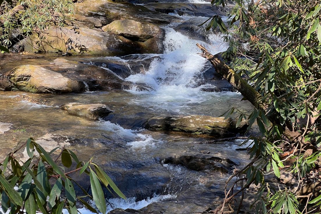
Five miles of trails wind through the Garden. With many natural features, such as wetlands, floodplains, slopes and upland plateaus. Portions of the Orange and White Trail follow the shoreline of the Middle Oconee River which borders the western portion of the Garden. Small populations of wildlife such as rabbits, raccoons, opossums, fox and numerous bird species find the Garden a natural habitat. Birding is a popular activity at the Garden. The State Botanical Garden together with UGA's Whitehall Foresthas been designated an IBA (Important Bird Area) by the Georgia Audubon Society.\
Just three miles south of Downtown the garden trails are a mix of landscaped gardens with native and exotic platlife to rugged woodlands. The 313 acre preserve was set aside by the University of Georgia in 1968 for the study and enjoyment of plants and nature. The longest is the White Trail, which parallels the Middle Oconee River for several hundred yards and extends into the upland plateau areas of hardwood forest.
Directions: Google Directions
From the orth\ Via US 441 (Commerce): Approaching Athens on US 441 South, you will intersect Athens Perimeter (Loop 10). Exit right (toward Atlanta). Stay on Perimeter until you reach S. Milledge Ave exit (Exit 6). Turn right. Entrance is 1 mile on your right.\ Via US 129 (Jefferson, Gainesville): Approaching Athens on US 129, you will intersect Athens Perimeter (Loop 10). Exit right (toward Atlanta). Stay on Perimeter until you reach the S. Milledge Ave exit (Exit 6). Turn right. Entrance is 1 mile on right.\ Via GA 106 (Carnesville): Approaching Athens on GA 106, the road takes a sharp left turn and ends when it intersects US 29. Turn right and continue to Athens Perimeter (Loop 10 South). Exit at S. Milledge Ave (Exit 6). Turn left. Entrance is 1 mile on right.\ Via US 29 (Danielsville): Approaching Athens on US 29, highway becomes Athens Perimeter shortly after passing Athens Tech. Stay on Perimeter (Loop 10). Exit at S. Milledge Ave (Exit 6). Turn left. Entrance is 1 mile on right.\ Via US 72 (Elberton): Highway 72 ends when it intersects US 29. Turn left at intersection. Highway becomes Athens Perimeter shortly after passing Athens Tech. Stay on Perimeter (Loop 10). Exit at S. Milledge Ave (Exit 6). Turn left. Entrance is 1 mile on right.
State: | Georgia |
County: | Clarke |
Latitude: | 33.9132296 |
Longitude: | -83.3779539 |
Length: | 5.0 miles |
Difficulty: | 2 |
Rating | |
( 0 reviews out of 5) based on | |
Trail viewed 2047 times |
Miles | Trail Name | Short Description |
---|---|---|
40 | Ladyslipper Trail | Trail along hillsides in the Lake Russel area |
40 | Sourwood Trail | Trail along Nancy Town Creek and its tributary |
40 | Lake Russell Trail | A trail that winds around a stream and its namesake lake |
41 | Broad River Trail | Fairly level trail through Lake Russel Wildlife Management Area |
52 | Arabia Mountain | Rock outcroppings the size of football fields |