South Carolina
Abbeville County
Long Cane Trail
Long hiking loop that passes through Long Cane Scenic Area
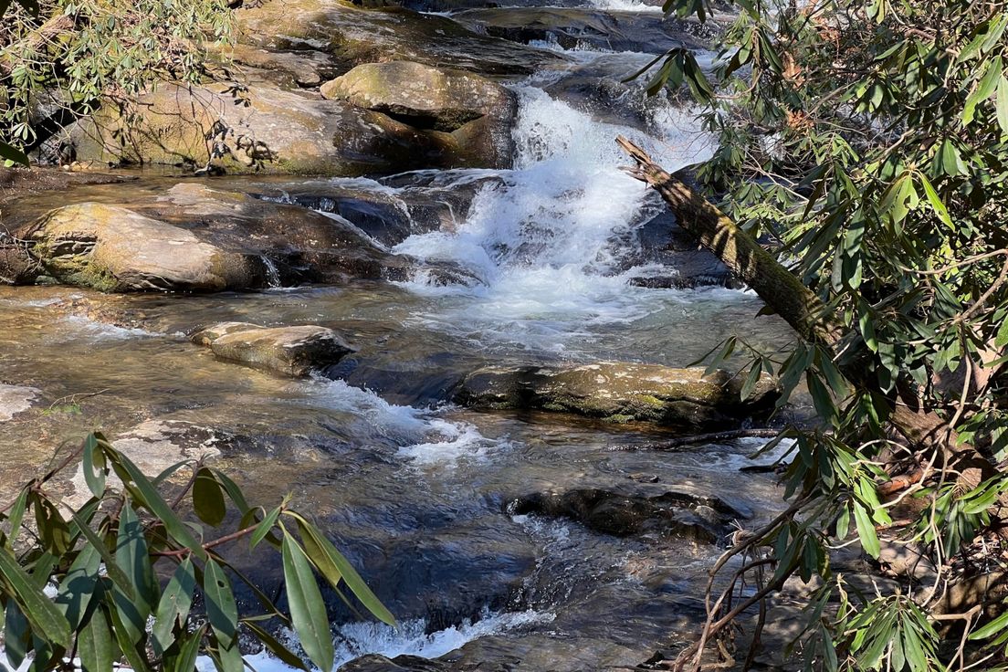
The trailhead is located across the road from Fell Hunt Camp. From the trailhead, the trail heads into the forest, coming to a clearing. Bear right to stay on the main trail when a path forks off to the left. After passing through more forest, you’ll come to Forest Service Road 505, which used to be an old American Indian trail; cross it and continue along the main trail. About a quarter of a mile into the hike a trail will split off to the left. This is a connector trail which follows Little Muckaway Creek, and, if you choose to take it, will shorten your total distance over the loop by 7 miles. Assuming you continue along the main trail, just past the connector trail you’ll cross Little Muckaway Creek. From there, the trail heads through the forest, across a couple of service roads, then turns onto an old logging road. The trail crosses Gray’s Creek, then gradually turns toward Big Curltail Creek. If you so desire, you may stay on FS 506 for about a mile and a half to just past its intersection with FS 505 (at that point you can easily pick up Long Cane Trail again). This detour will allow you to bypass a portion of the trail made hazardous by lots of fire ant nests and brambles. The trail crosses FS 505 and 506 several times before the connector trail rejoins the main trail (just before crossing FS 505 for the last time). Shortly thereafter hikers enter Long Can Scenic Area and pass the state’s largest and world’s second-largest shagbark hickory. After leaving the scenic area, the trail turns uphill, passing through several ravines before it reemerges at Fell Hunt Camp.
Length: 22.0 miles
Difficulty: 6
Nearby Trails
Parsons Mountain
Loop trail up Parsons Mountain and around its lake
Turkey Creek Trail
Peaceful creekside trail
Lick Fork Lake
Hiking loop along Lick Fork Creek and Lick Fork Lake
Buncombe Trail
Long loop through a mixed forest
Foothills Trail - Sassafras Mountain
Hike to the top of the tallest mountain in South Carolina
