Alabama
DeKalb County
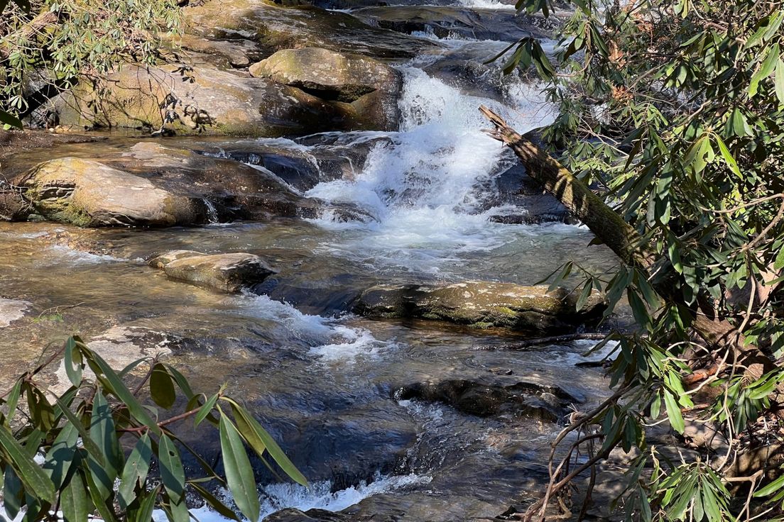
Lost Falls Trail
Takes you to Laurel Falls, Lost Falls and Azalea Cascade
Located in DeSoto State Park, Lost Falls Trail is a combination of several different trails each marked with their own color. Most of the other trails in the park focus on Little River, Lost Falls Trail explores the Boulders and CR caves. The trail begins on a long wooden footbridge over a marshy area, then heads uphill and passes through the Needle Eye Rock, a Boulder which has been split in half. The trail then heads up a hillside and down a ravine, where Laurel Falls and Lost Falls are. Laurel Fallsis a nice 6 foot waterfall and Lost Falls is a 5 foot waterfall. The CR caves formation is from the water eroding the rock walls forming cave like structures. The Azalea Cascade is the smallest waterfall on the trail at 3 feet.
Length: 3.2 miles
Difficulty: 2
Nearby Trails
Rhododendron Trail
Loop through DeSoto State Park
Desoto Scout Trail
Follows the rapids of the west fork of little river
Eberhart Trail
Trail into the canyon of the Little River Canyon Preserve
Rocktown Trail
Hike through an area with unusual sandstone formations
Waterfall Trail (Cloud Canyon)
Short trail to two waterfalls