Alabama
Madison County
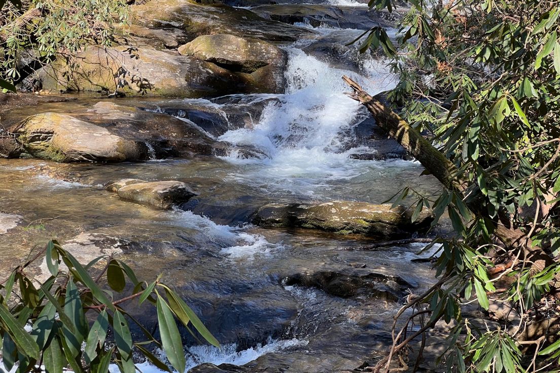
McKay Hollow Trail
Trail down the ridge of Monte Sano Mountain to O'Shaughnessy Point
The trail begins near a stunning 100-foot waterfall, complete with a trail leading to the small cave behind the cascade. After descending the western ridge of Monte Sano Mountain, visitors are led past viewpoints of O'Shaughnessy Point off in the distance, alongside Blue Spring Creek, and up to the trail's end at its intersection with the South Plateau Trail.
Length: 5.0 miles
Difficulty: 7
Nearby Trails
South Plateau Loop Trail
Trail around the southern plateau of Monte Sano Mountain
North Plateau Loop Trail
Trail along the northern plateau of Monte Sano Mountain
Stone Cuts Trail
Named for the deep cuts in the limestone walls along a portion of the trail
Mountain Mist Trail Loop
A loop made up of several trails through Monte Sano State Park
Old Railroad Bed Trail
The Land Trust's Monte Sano Preserve consists of over 1,120 acres with 18 miles of public trails