Georgia
Union County
Slaughter Creek Trail
a.k.a. Slaughter Gap Trail
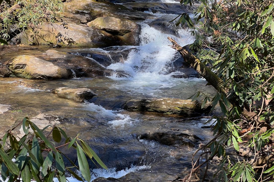
The trail provides easy access to the Appalachian Trail. It crosses its namesake creek at about 2.2 miles, then turns uphill toward the gap. Although the hike is mostly uphill the whole way, it does not turn into an extremely steep ascent when it nears its junction with the AT (like most other access trails do).
For a longer hike you may wish to make a loop out of Slaughter Creek Trail, the Appalachian Trail, and Jarrard Gap Trail, which, all total, would come to about 6 miles.
Length: 2.7 miles
Difficulty: 4
Nearby Trails
Lake Winfield Scott Trail
Loop along the shore of the lake
Duncan Ridge Trail
Trail along Duncan Ridge
Sosebee Cove Trail
A memorial to Arthur Woody, Georgia's first Forest Ranger
Freeman Trail
Connects to the Appalachian Trail on each end
Byron Herbert Reece Access Trail
Formerly known as Blood Mountain Spur Trail
