South Carolina
Newberry County
Peachtree Rock Trail
Hike to two interesting rock formations via two short loop trails
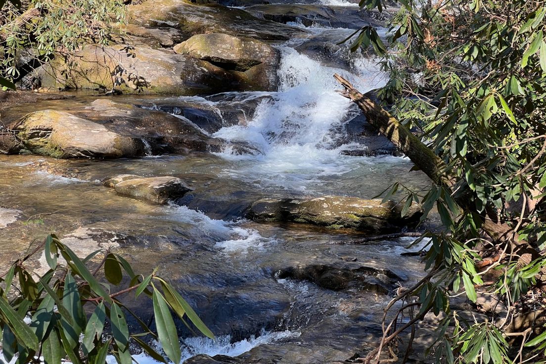
Peachtree Rock, located 0.1 mile from the parking lot, stands about 20 feet high and looks a bit like a balancing top. Near Peachtree Rock you'll find the only natural waterfall in central South Carolina.
Starting on the blue-blazed trail from said waterfall will lead hikers to an old logging road, which climbs to the top of a ridgeline and holds some beautiful views of the surround area, including Tall Rock (a.k.a. Little Peachtree Rock). The trail then turns toward Hunt Creek, which turns out to be a great place to cool off as the hike from Tall Rock to Hunt Rock is reminiscent of a desert with all of its sand and desert plants. The loop then turns back to Peachtree Rock and a reddish-brown-blazed trail, which leads to other nifty rock formations on its way back to the trailhead.
Length: 2.0 miles
Difficulty: 4
Nearby Trails
Battlefield Trail
Historic trail through Rivers Bridge State Historic Site
Buncombe Trail
Long loop through a mixed forest
Lick Fork Lake
Hiking loop along Lick Fork Creek and Lick Fork Lake
Turkey Creek Trail
Peaceful creekside trail
Long Cane Trail
Long hiking loop that passes through Long Cane Scenic Area
