Alabama
Madison County
Rainbow Mountain Trail
Features Balance Rock a 100 foot balanced boulder
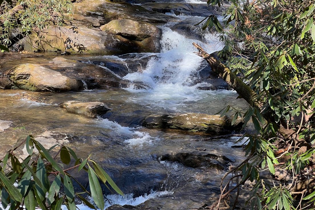
The Rainbow Mountain Trails park was initiated in an effort to promote the conservation of Madison’s last remaining undeveloped areas. The area of the trails is located on 130+ acres of city land at Stoneridge Park. The trails offer a panoramic view of the Madison areas stretching for miles to the southeast and southwest. Rainbow Mountain, like Monte Sano Mountain is part of the Southern Appalachian Plateau.
Length: 2.5 miles
Difficulty: 2
Nearby Trails
Land Trust Loop
Loop along the western side of Monte Sano Mountain
Old Railroad Bed Trail
The Land Trust's Monte Sano Preserve consists of over 1,120 acres with 18 miles of public trails
McKay Hollow Trail
Trail down the ridge of Monte Sano Mountain to O'Shaughnessy Point
South Plateau Loop Trail
Trail around the southern plateau of Monte Sano Mountain
North Plateau Loop Trail
Trail along the northern plateau of Monte Sano Mountain
Day Hike
The Rainbow Mtn Trail is my new favorite afternoon hike! It is a short loop; only 1.5 miles (2.5-ish if you add the partially-developed Jamooko Loop) but it has enough elevation changes and shifts in terrain to make it interesting. As of this writing, the Jamooko Loop is fairly overgrown, and there are a few blazes for secondary paths up by the northernmost section, which can easily be mistaken for the "main" trail.