Alabama
Morgan County
Dancy Bottom Trail
Located in bottomland hardwoods near Flint Creek
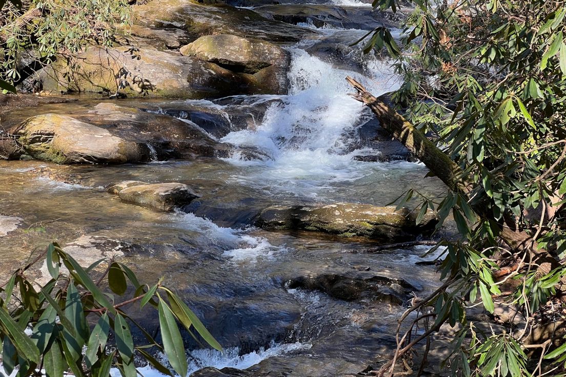
Located in bottomland hardwoods near Flint Creek, this 2.5 mile round trip trail offers a wide variety of scenery. During winter months, waterfowl use the slough near the trail and can sometimes be seen. Deer, squirrels, rabbits, woodpeckers, and many other species of wildlife are often encountered along this trail. This is an unimproved trail and is not universally accessible. From the Visitor Center, go east on Highway 67 for 1.7 miles to the traffic-light at Indian Hills Road. Turn right. Go approximatly 3.1 miles, turn right onto Red Bank Road. The short road to the parking area is located about 1.7 miles on the right just before the bridge over Flint creek. The trail is open daily, daylight hours only
Length: 2.5 miles
Difficulty: 3
Nearby Trails
Rainbow Mountain Trail
Features Balance Rock a 100 foot balanced boulder
Land Trust Loop
Loop along the western side of Monte Sano Mountain
Old Railroad Bed Trail
The Land Trust's Monte Sano Preserve consists of over 1,120 acres with 18 miles of public trails
McKay Hollow Trail
Trail down the ridge of Monte Sano Mountain to O'Shaughnessy Point
South Plateau Loop Trail
Trail around the southern plateau of Monte Sano Mountain
