South Carolina
Greenville County
Jones Gap Trail
Hiking trail from Jones Gap State Park to Caesars Head State Park
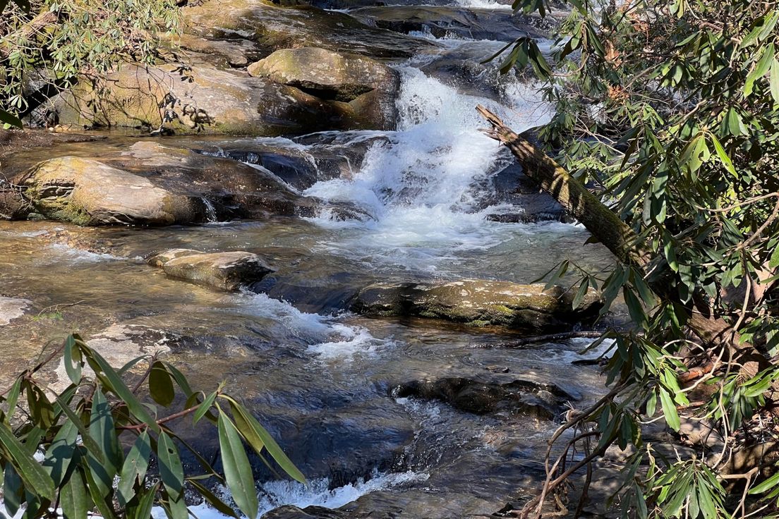
Although the trail ascends 1600 feet over its 5.3-mile length, it is not a difficult hike. It follows Middle Saluda River almost the entire way, crossing it several times. The forest surrounding the river is almost as beautiful as the river itself, with numerous wildflowers and mountain laurel.
Length: 5.3 miles
Difficulty: 5
Nearby Trails
Rainbow Falls
Hiking trail in Camp Greenville
Falls Creek Trail - Hospital Rock Trail
Hike on a mountain trail over a ridge
Naturaland Trust Trail
Trail from Caesars Head to Raven Cliff Falls
Bill Kimball - Coldspring Branch Loop
Loop around El Lieutenant in the Mountain Bridge Wilderness Area
Foothills Trail - Gum Gap
Hiking trail from Gum Gap to Sassafras Mountain
