We can't find the internet
Attempting to reconnect
Something went wrong!
Hang in there while we get back on track
Make a Day Trip
Estimated total time: Varies
Benton MacKaye Trail
Long trail stretching from northern Georgia to Tennessee and North Carolina
Amicalola Falls West Ridge Falls Access
Nice hike up the west ridge to base of Amicalola Falls
Amicalola Falls East Ridge Trail
Climb to the top of Amicalola Falls
About This Trail
The Appalachian Trail in Georgia is about 75 miles long and goes through more primitive areas of the Chattahoochee National Forest. The trail keeps mostly to ridges, with an average elevation of 3000 feet, though it occasionally rises to over 4000 feet. The trail is marked by rectangular white blazes, with blue blazes indicating a trail to a water source or a side trail. 12 shelters are located along the Georgia portion of the trail.
The trail offers many breathtaking views, but its difficulty should not be underestimated. Hikers should come prepared for rain at all times of the year, and for near- or below-freezing nights from October to April. If you do not bring a water purifier, plan to boil your water for several minutes before storing/drinking it. Bears do live around the trail, so keep food up out of reach and cooking fires away from the sleeping area. Extra precautions should be taken during deer hunting season (i.e. wear lots of orange).
The southernmost portion of the trail is accessed by way of the Amicalola Falls State Park Approach Trail (8.1 miles). The Approach Trail gives a good idea of how the Appalachian Trail alternates between ascending and descending sections, so if you are miserable during the Approach Trail, you probably won’t like the Appalachian Trail.
Location
Loading map...
Getting There
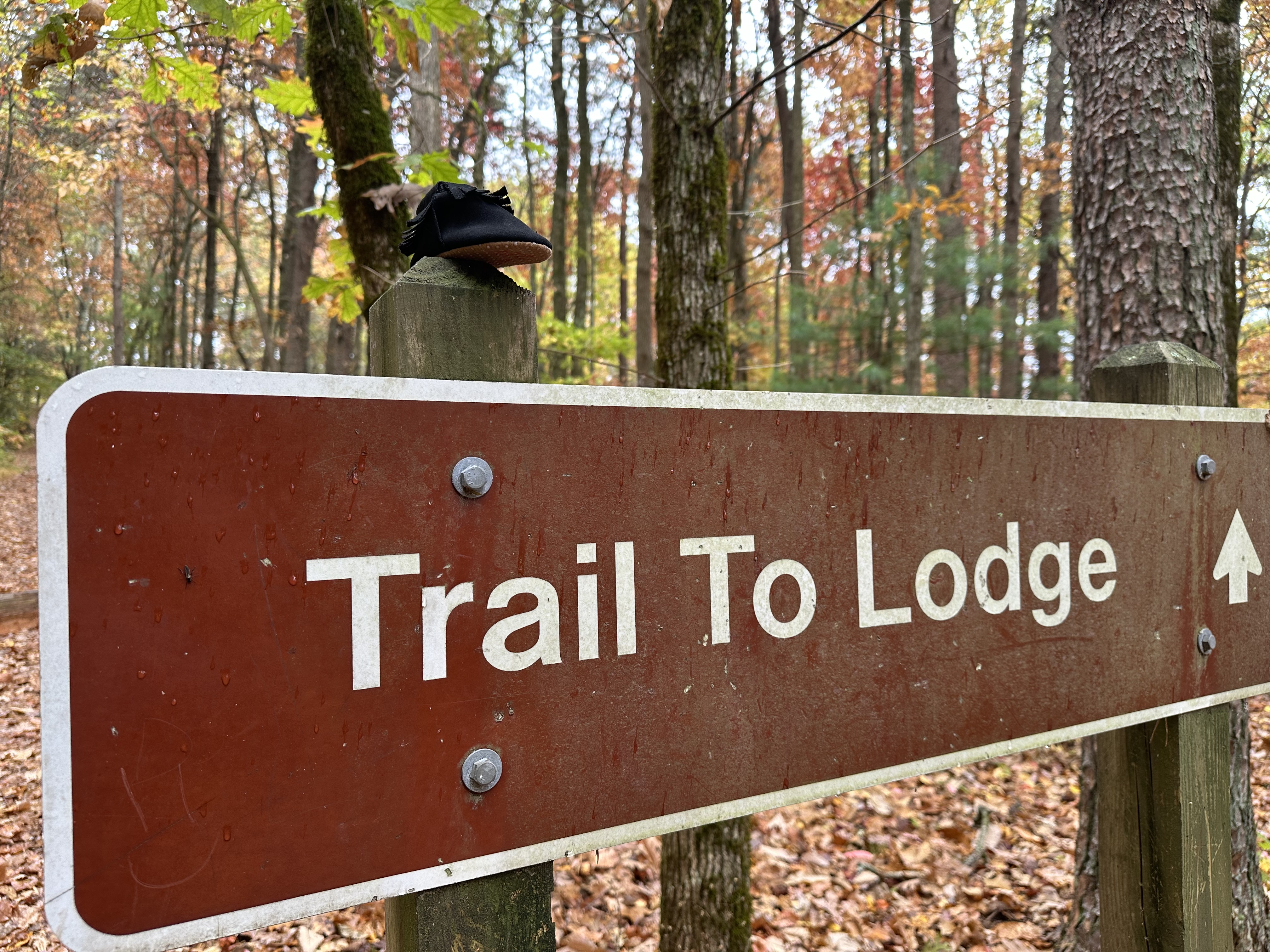
Trail Photos
8.26 km from trailhead

Nearby Trails
Benton MacKaye Trail
Long trail stretching from northern Georgia to Tennessee and North Carolina
Amicalola Falls West Ridge Falls Access
Nice hike up the west ridge to base of Amicalola Falls
Amicalola Falls East Ridge Trail
Climb to the top of Amicalola Falls
Eyes On Wildlife Trail
Trail through the woods near Cooper Creek
Yellow Mountain Trail
The most popular trail in the Cooper Creek Scenic Area
Been to Appalachian?
Share your experience and help fellow hikers discover this trail.
Write a Trail Report Report Conditions Upload Photo